POST LOCATION
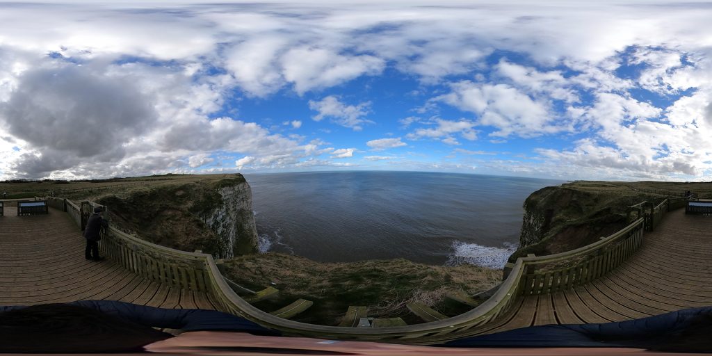
Danes Dyke Beacon Hill
#beaconhillwhale
Explore the location
What’s so special about this location?
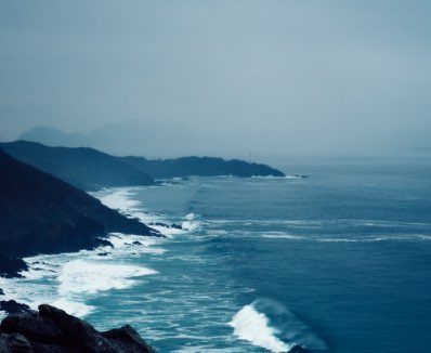
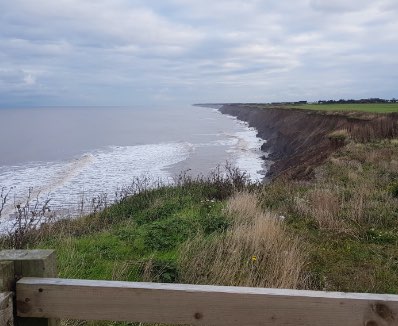
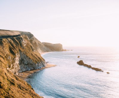
The coastline around Flamborough Head is a mixture of rugged white cliffs, with multiple coves and beaches formed as the sea has eroded the chalk cliffs. Under the waves the area supports such a huge variety of life in the undersea kelp forests and chalk reefs.
Experience Flamborough
North Beach in 360 Video
Your logo here! We’re inviting schools from across Hull and East Yorkshire to get involved and provide a #Hashtag name for a specific ActiveLearning location. We will include information about each naming school on the website page for that location, referencing them as ‘guardians’.
What’s in the area?
Burton Agnes Hall & Gardens
Enjoy the beautfully manicured gardens, play the giant games, find your way through the maze and discover the history of Burton Agnes Hall.
Bridlington Animal Park
An award winning Animal Park that’s perfect for a family day out! Learn about Birds of Prey at flying demonstrations, have an owl land on your arm, book to Meet the Meerkats or a Park Keepers experience, and of course visit all the animals there.
Bridlington Landtrains
Take a tour with a difference, Bridlington’s land trains run from Easter till October and offer an alternative route to and from Bridlington town centre as the trains run along both North and South promenades.
Where’s next on the route…
PREVIOUS SITE
PREVIOUS SITE
Explore, discover and capture moments to help our planet
CoastSnap works by enlisting members of the public to take part in our global citizen science project, to capture through your smartphone images of how our dynamic world is changing over time.
By using something called Photogrammetry, scientists can use your photos to make maps at an accuracy similar to that of professional survey team. This is why each location has a camera cradle for you to use and precisely orient your phone and photo. All the information can be recorded via the App or uploading to social media channels. The more photos we have of a particular location, the better our understanding becomes of how environments, such as coastlines, are changing over time, and thus helping communities, local government and stakeholders to better manage these valuable environments.
Add your snap
1. Visit one of our CoastSnap locations.
2. Open the app and create an account with your email address.
3. Select the CoastSnap station for your location.
4. Add your photo using the plus button to ‘update spot’ and follow the on-screen instructions.
5. Place your phone within the cradle so that the camera is facing away from you and is in the correct landscape position.
6. Complete the ‘update spot’ form in the app and save your snap to submit it. You can also upload a recent photo from your gallery.
7. If you don’t have the CoastSnap app, you can still share the photo via social media channels (Facebook, Instagram, Twitter handles)
8. Take the snap and share it via on our social media channels using the location hashtag #beaconhillwhale
What happens to my snap?
We will use your CoastSnap images to map the way the environment changes over time. Your image is an accurate record of the locality at that moment. Your image will become part of a community database and will enable us to monitor how different environments are changing through time, creating time-lapse movies of the location.