post location
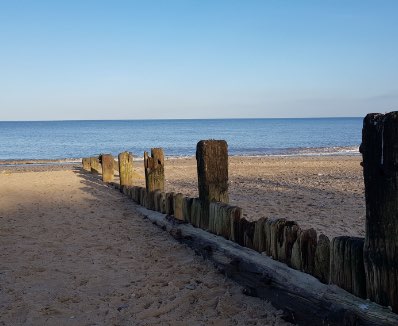
Withernsea Rock Armour
#withernsearocks
Explore the location
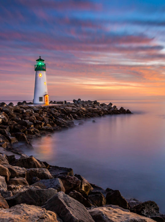
The #withernsearocks post has been positioned to look towards the new rock armour, which was completed in early 2021.
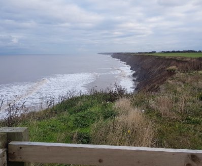
The £7 million coastal defence scheme saw just under 70,000 tons of anorthosite rock being delivered from over 400 miles away from Rekefjord, in southern Norway. Cliff erosion at Withernsea has been historically known to retreat around 4 metres per year. However, in recent years this has risen to around 6 metres, with 12 metres disappearing in the last year from the area where the rock armoury now resides.
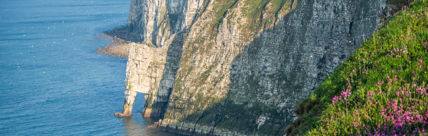
What is Coastal Erosion?
View this BBC video on the coastal erosion, focussing on the Withernsea and the Holderness Coast.
Stories of Coastal Erosion
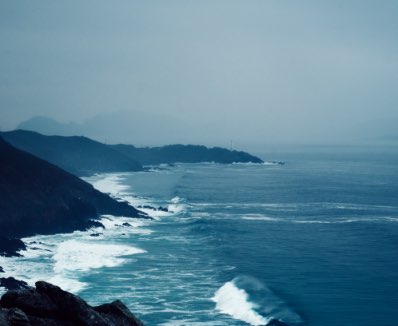
If you look around Withernsea bay, you will see it has groynes all along the front from the north of Withernsea until this post in the south. These timber groynes are essential in helping to keep the sand from moving further down the coast. Without having the sand there to support the coastal structures it would collapse and put Withernsea at further risk from the sea.
As well as the groynes, Withernsea has a seawall which is protecting the coastline from erosion. It reflects the energy from the waves back out to the sea.
So, what does the rock armour do? Its role is similar to the seawall, in that it is to protect the coastline from erosion but it absorbs the energy from the waves so it can reduce the impact to the seawall.
The data collected from the #WithernseaRock will help us evaluate the impact of these defences on coastal erosion and input into our understanding of the ecology of the rock environment.
Fun activity to do
Fossils from the Jurassic period are known to be found along the Holderness coast. Here at the #WithernseaRock you can take part in the Withernsea fossil trail as you walk along the promenade, ticking off all the different fossils you may find:
The Withernsea community have worked with the University of Hull on photography, poetry and music in response to the impacts of coastal erosion, which have been gathered together into a short film.
The Guardian of this post is the community of Withernsea High School. The post does not have a name chosen by its pupils as this is an extra special post. It is the founding post of the Active Learning project and so this one is dedicated to Withernsea High School’s Head of Humanities and devoted Geographer, Sarah Harris-Smith for all of her hard work, dedication and passion in engaging her pupils with the changing coastline.
Explore, discover and capture moments to help our planet
CoastSnap works by enlisting members of the public to take part in our global citizen science project, to capture through your smartphone images of how our dynamic world is changing over time.
By using something called Photogrammetry, scientists can use your photos to make maps at an accuracy similar to that of professional survey team. This is why each location has a camera cradle for you to use and precisely orient your phone and photo. All the information can be recorded via the App or uploading to social media channels. The more photos we have of a particular location, the better our understanding becomes of how environments, such as coastlines, are changing over time, and thus helping communities, local government and stakeholders to better manage these valuable environments.
Add your snap
1. Visit one of our CoastSnap locations.
2. Open the app and create an account with your email address.
3. Select the CoastSnap station for your location.
4. Add your photo using the plus button to ‘update spot’ and follow the on-screen instructions.
5. Place your phone within the cradle so that the camera is facing away from you and is in the correct landscape position.
6. Complete the ‘update spot’ form in the app and save your snap to submit it. You can also upload a recent photo from your gallery.
7. If you don’t have the CoastSnap app, you can still share the photo via social media channels (Facebook, Instagram, Twitter handles)
8. Take the snap and share it via on our social media channels using the location hashtag #withernsearocks
What happens to my snap?
We will use your CoastSnap images to map the way the environment changes over time. Your image is an accurate record of the locality at that moment. Your image will become part of a community database and will enable us to monitor how different environments are changing through time, creating time-lapse movies of the location.
What’s in the area?
Tolkien Triangle
Author of some of the most famous books in England, The Lord of the Ring Series, J R R Tolkien took residence in East Yorkshire during 1917-18 taking inspiration from the landscape for some of his work.
The Spotted Duck Tearoom
Enjoy delicious homemade food before a taking a walk round Westfield Country Park’s beautiful lakes taking in the picturesque scenery.
YWT Spurn Discovery Centre
The discovery centre provides all the information you need to make the most out of your visit to Spurn Point Nature Reserve, alongside the Discovery Centre café to relax after exploring the point.